Wetland Delineation Application
In a collaboration between the GDS and Ecology teams, we wanted to improve how we collected and reported on data associated with wetland delineation. The main aims were to use standard methodology, increase efficiencies, produce consistent outputs and ensure correct management of data.
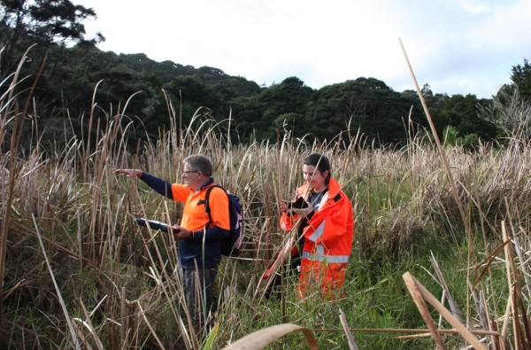
By migrating from paper to digital we knew we could enhance our current practices by:
- Increasing efficiencies in data collection and analysis by reducing time spent on transcription.
- Automating calculations to provide our staff with results in real time and automating outputs to ensure the production of consistent reports.
- Providing a structured database to improve how data is stored and analysed now and on repeat visits.
- Provide subscription-based services to councils and private consultants for the use of the app and standardise formay and delivery of required information.
Our wetland delineation app provides the data councils and MfE need to meet their monitoring requirements under the NPS-FM. The app can be used for monitoring regional mana o te wai plans.
Our wetland app has the following advantages:
- It provides a delineation in the field, as you go and identifies: natural inland wetlands, pasture, non-wetlands or possible wetlands needing testing for hydrology and soils.
- The field delineation follows MfE protocols.
- The delineation data is available anyone who needs to assessing the delineation – councils, practitioners, reviewers.
- Our wetland delineation app is coupled with mapping of delineation plots and wetland extent.
The app is a subscription-based user licensing, with full access to data records and outputs generated by licensed users at any time.